ICA

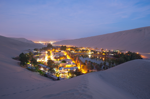
Ueste department is remarkable in its geographical configuration. It is the only one of the departments of the south coast of Peru which consists of plains.
In Ica, this phenomenon is interesting because the Andes hardly exist in its territory, although the actual farm life and the condition of man's existence is completely dependent on Andean water sources coming down the steep slopes of the provinces of Castrovirreyna , in Huancavelica, and Lucanas in Ayacucho.

THE NAZCA PLATE
The deep oceanic trench that runs parallel to the coast of Peru, as well as seismic activity, are the result of the slow penetration of the Nazca plate or platform beneath the South American coast in the Pacific Ocean.
At the north end of the platform Peru's continental is wide, and then it narrows again to extend up to 100 km, in the department of Ancash. But it is very narrow from Ica.
The Ica Trench is opposite the Paracas Peninsula, and has a depth of 6212 m. To the north is the central fossa, which has been recorded to be 6868 m deep.
The site of Marcona, where the largest iron deposits of the South American Pacific coast lie, have given Ica global significance.
LIMA-ICA-CHINCHA
The departmental capital closer to the capital of the Republic, is the city of Ica (303 km), connected by an excellent road with very few curves and steep gradients.
Passing the 169 km Topará ravine, the road enters the territory of the department of Ica. From there one goes down to the great Jaguay beach, a stretch of 19 km almost entirely straight, which leads, after an uphill curve, to the city of Chincha.
Further south, you can go 31 kilometers to the junction of the road to Ayacucho and then after a short 3.5 km, the road comes to Pisco. A further 12 km road along the road will take you to Port St. Maroun península in Paracas.

PARACAS
From San Andrés, continuing south along a stretch of 11 km, one reaches Paracas, located on a small ledge of land over the sea.
You can take excursions in a yacht or boat to the Ballestas Islands. Or make a trip to the Punta smelt, on the famous Chincha islands, located further north, which were the "guano islands' providing fertilizer which was in great demand in Europe during the late nineteenth century.

The Paracas National Reserve
The Paracas National Reserve is located in the provinces of Pisco and Ica and was established in 1975. It covers 117,406 ha of land and 217,594 ha of adjacent sea, for a total area of 335,000 ha.
A quick review of fish resources indicates the presence of the following species: wahoo, pompano, hammerhead sharks, toyo, sharks and guitar fish, etc. Among the sea mammals are the dolphins or porpoises and killer whales.
It is considered that there are over 60 varieties of seabirds on the coast and islands.
Among them: the guanay (the 'king of the guano birds'), booby, gannet or pelican, storm swallow, dove out front albatross white tufted grebe, common shearwater, potoyunco, cus-houri or crow sea chuita, camanay, frigate bird, stained beach, white beach, gull gray, Dominican gull, gull Peruvian Eranklin gull, gray-hooded gull and the gull Galapagos tendril scorer, etc.
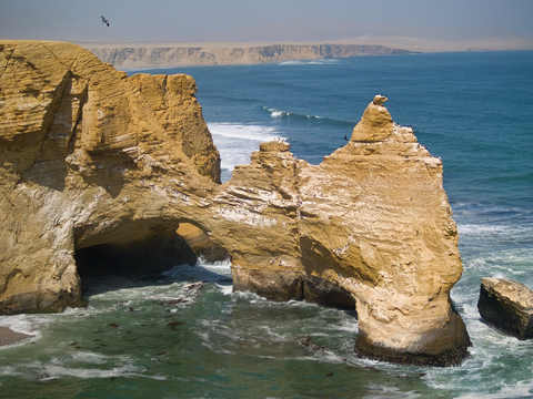
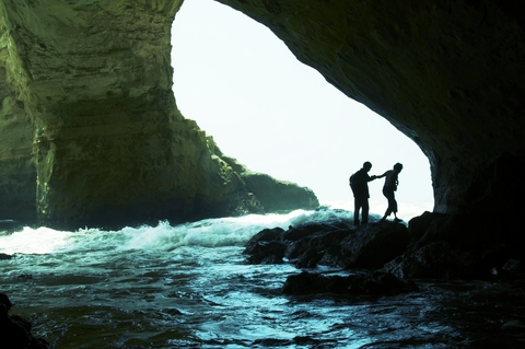
On the rocks near the sea there are many caves in the vicinity of narrow rocky beaches. These places are the stages where one can find the condor (Vuhur gryphus). Along with the condor one can find the black-headed vulture Coragyps ahiratus and red-headed vulture Cahartes aura.
Also in this area is the remarkable parihuana flamenco, with white and red plumage. According to tradition, San Martin, after landing at Paracas to launch the independence of Peru, was inspired by the birds to use their colors in the national flag.


